Køge Ridge
Photo: Køge Kommune
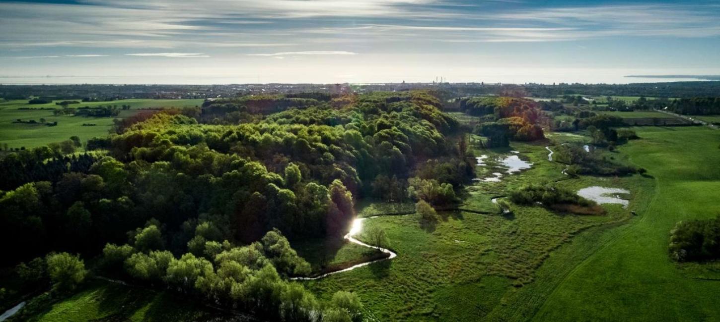
A ridge is an oblong hill formed by melt water deposits beneath a glacier.
The ridge Køge Ås provides a clear picture of an oblong, today wooded, hill transversing the landscape along with Køge River from Køge and further inland.
Peace and quiet within easy reach
The ridge is the most popular local recreational area, located just 700 metres from Køge Market Square, and a tour of the high hills and steep slopes is highly recommendable. See location here.
The highest point is 24 metres above sea level. The slope is not so steep to the north, and on the northern outskirts of the woods is some wetland that is remains of the moorland where peat digging took place in former times.

Photo:VisitKøge
Explore the area
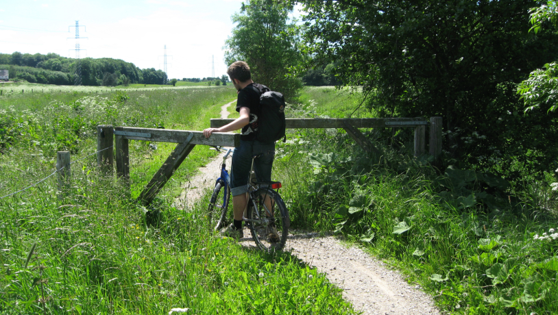
You can walk or cycle on Køge Ridge along the 22 km River Path (Køge Å-stien), ending in the hills Regnemarks Bakker near the town of Borup.
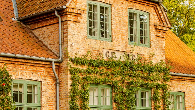
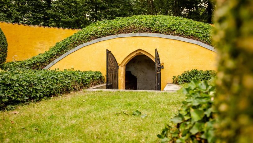
Take a walk in the forest and enjoy the sight of beautiful Gammelkjøgegaard, a manor from the 17th century. Pause at Clara’s Cemetery where the grave of famous Danish hymn writer and priest, N.F.S. Grundtvig, is located. This is a conservation area so please take good care of it.

Photo: TT MEDIA

Photo: TT Media